Port to port · nautical miles · voyage time
Sea distance calculator.
The sea passage between any two ports in the world, routed over real shipping lanes, with the voyage time alongside it.
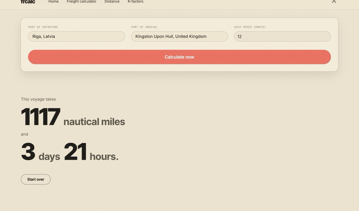
Type a port name or a country and pick from over 3,000 ports. We route the distance the way a ship actually sails — through the Suez or Panama Canal when that is the shorter way, not as a straight line drawn across the globe — and give you the passage time at whatever speed you tell us the ship makes.
001
Pick two ports
Type part of a port name or a country name and choose from over 3,000 ports drawn from the World Port Index.
002
We route it for real
The distance follows charted shipping lanes and detects a Suez or Panama transit from the route itself, not from guessing at the two endpoints.
003
Add your ship's speed
Tell us how fast the ship sails and you get an estimated passage time to help compare routes and delivery schedules.
What it does not do.
It measures a sea passage — it does not know a ship's actual draft, air draft or length, so it will not tell you whether a particular vessel physically fits a particular berth; check that with your agents. Port time, waiting for a berth and weather margin are not included either — this is passage time only, from the anchorage of one port to the anchorage of the other.
Terms you'll see
Nautical mile, voyage time, laycan, ballast leg — if any of that is new, the glossary on the FAQ page explains it in plain terms.
Free to join, and free to use.
An account takes an email address and a password. Nothing else, and nothing to pay. It also opens the freight rate calculator.
Already have an account? Log in